How has development and urban planning in the West Adams neighborhood impacted life today?
How have decisions around urban planning and development been influenced by the demographics of West Adams throughout history?
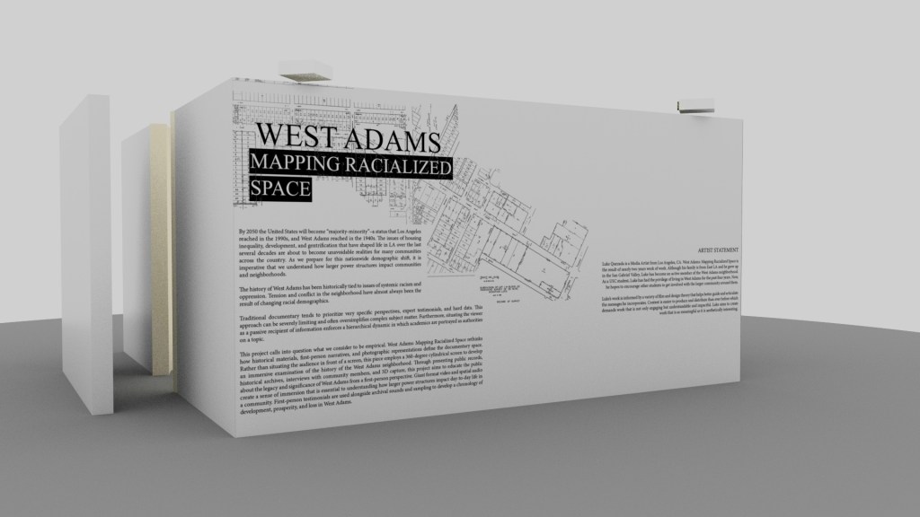
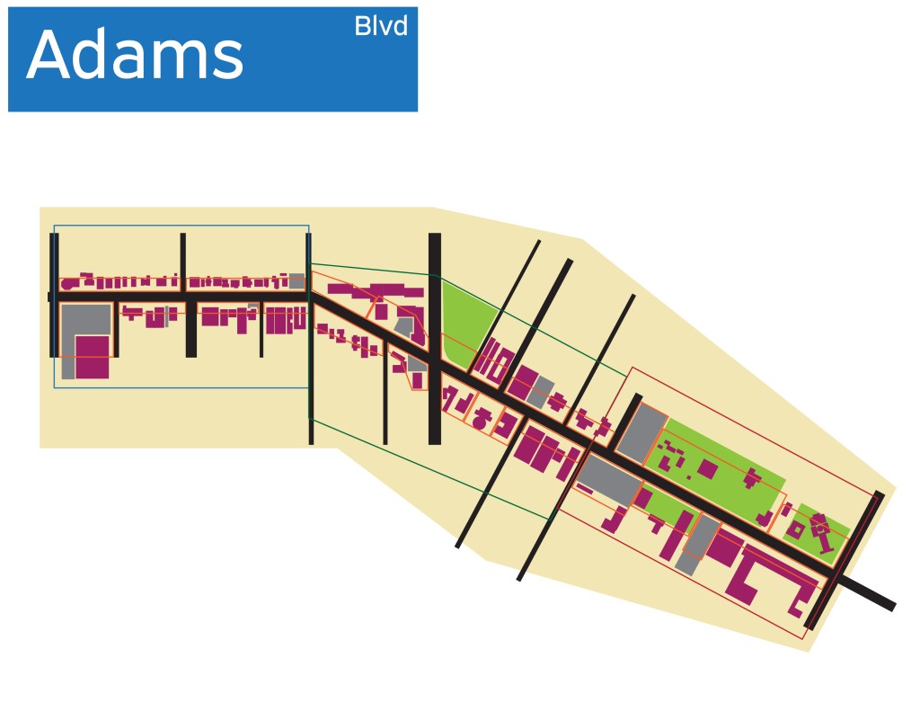
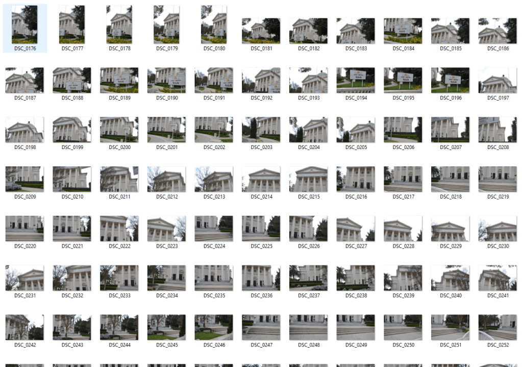
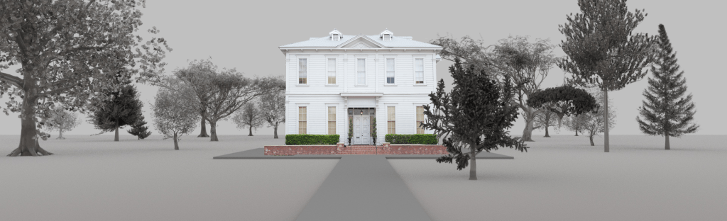
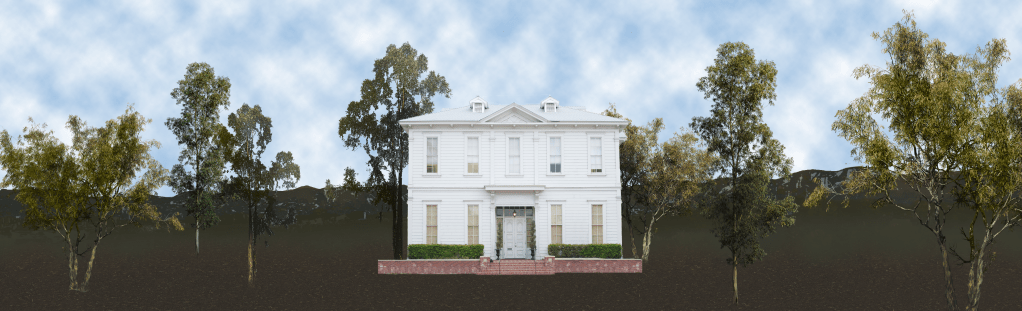
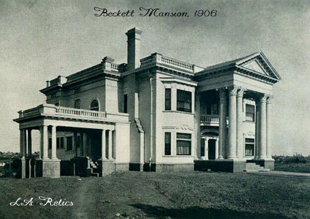
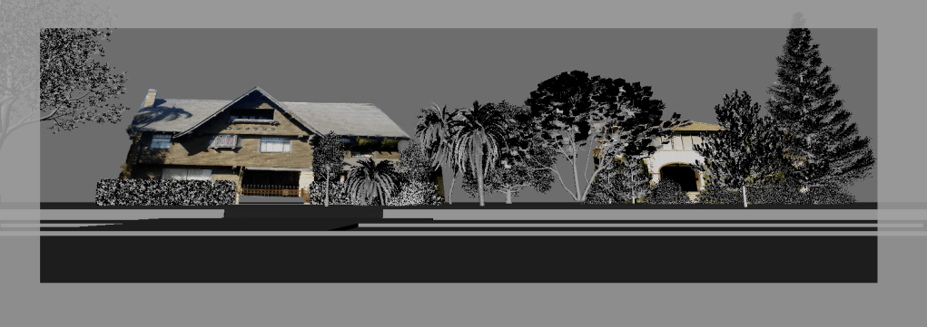
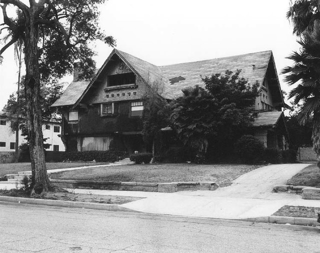
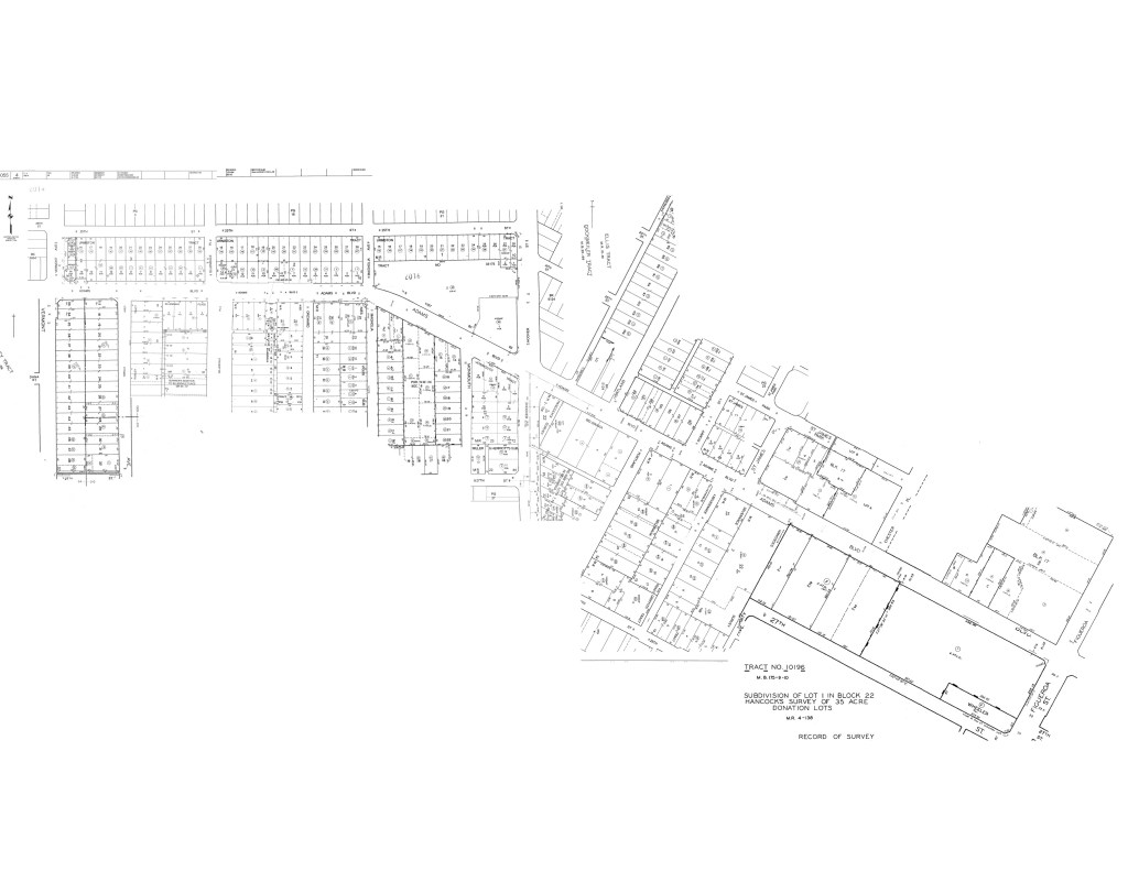
This project examines public records, historical archives, and interviews with community members to better understand how changing demographics affect urban development across Los Angeles. In order to communicate these findings to an audience, a one-mile-long stretch of Adams Boulevard–-from Figueroa to Vermont–-was extensively surveyed, photographed, and digitally reconstructed. Recreations of historic structures display homes lost to eminent domain and paint a picture of a thriving neighborhood dismantled by the construction of the I-10 Freeway.
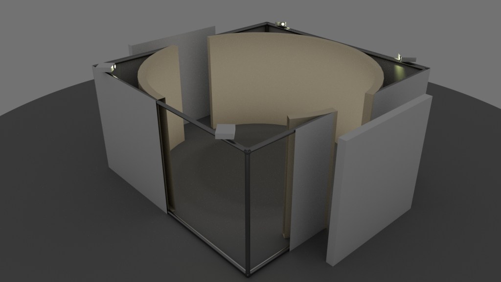
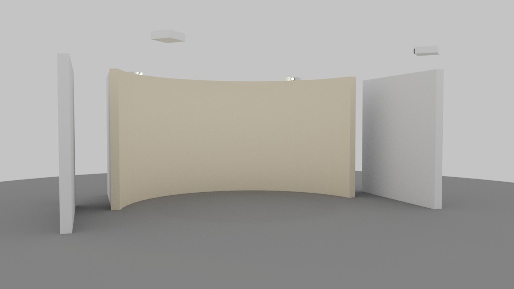
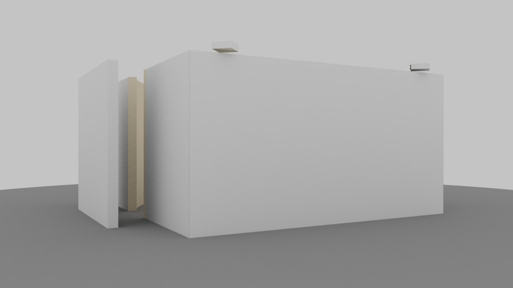
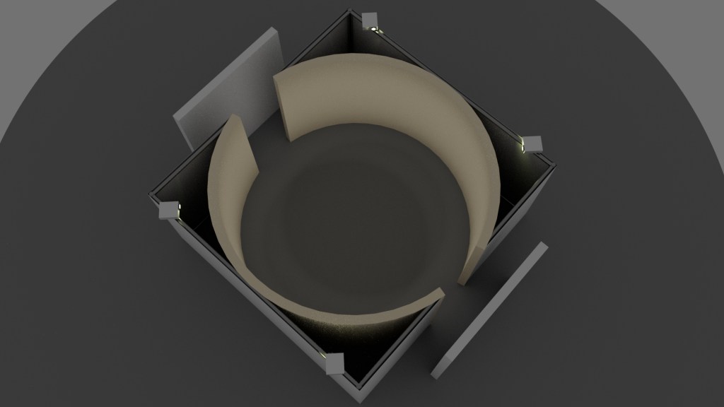
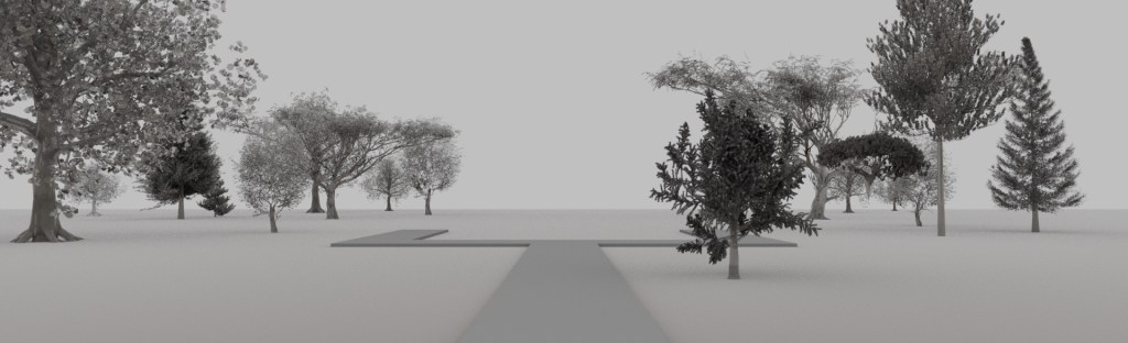
This work adopts the form of a giant-screen docu-narrative, presented as a panorama. Audience members stand in the middle of a 15-foot-diameter, 8-foot-tall cylindrical screen, virtually placing them in the middle of Adams Boulevard. The experience is roughly 10 minutes long and includes a six-channel audio component.